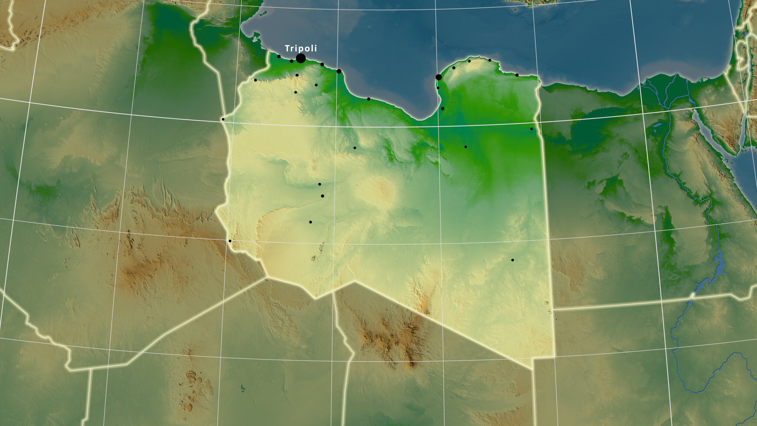
GEOGRAPHY OF LIBYA.
Libya is the fourth largest nation in Africa and the 17th largest country in the world and forms part of the North African plateau. It is situated along 1770 km of Mediterranean coast between Tunisia to the West and Egypt to the East. The country has a total land area of 1,759,540 km2, bordering Niger and Chad to the South and Sudan to the Southeast1.
Libya has four main geographical areas: Tripolitania in the Northwest, Cyrenaica in the Northeast, the Sirte desert which separates these two regions, and Fezzan in the Southwest of the country2.
Due to the vast majority of the country consisting of desert and enduring a hot arid climate, the density of the population is based along the coastline and its immediate hinterland, where the country enjoys a Mediterranean climate3.
The capital of Libya, Tripoli, on the northwest coast of the Mediterranean, is also the country’s largest city and chief seaport. Libya claims territorial waters of twelve nautical miles off-shore and an exclusive fishing zone of 62 nautical miles4.
There are no permanent rivers in Libya, but the many wadis in northern Libya carry water intermittently, following infrequent heavy rains. Cultivation of crops is limited to the coastal strips and is sparse, as less than two percent of Libya’s land is arable5. Extensive aquifers underlie the Sahara desert and provide water to the coastal regions, through the ‘Great Man-Made River’ and numerous artesian wells6.

Mediterranean Coast, Tukrah, Libya
FOOTNOTES.
“Geography of Libya.” Fanack.com, August 31, 2020. https://fanack.com/libya/geography/.
ibid.
ibid.
ibid.
ibid.
“Libya′s Great Man-Made River Irrigation Project: The Eighth Wonder of the World?” Qantara.de. Accessed January 12, 2021. https://en.qantara.de/content/libyas-great-man-made-river-irrigation-project-the-eighth-wonder-of-the-world.